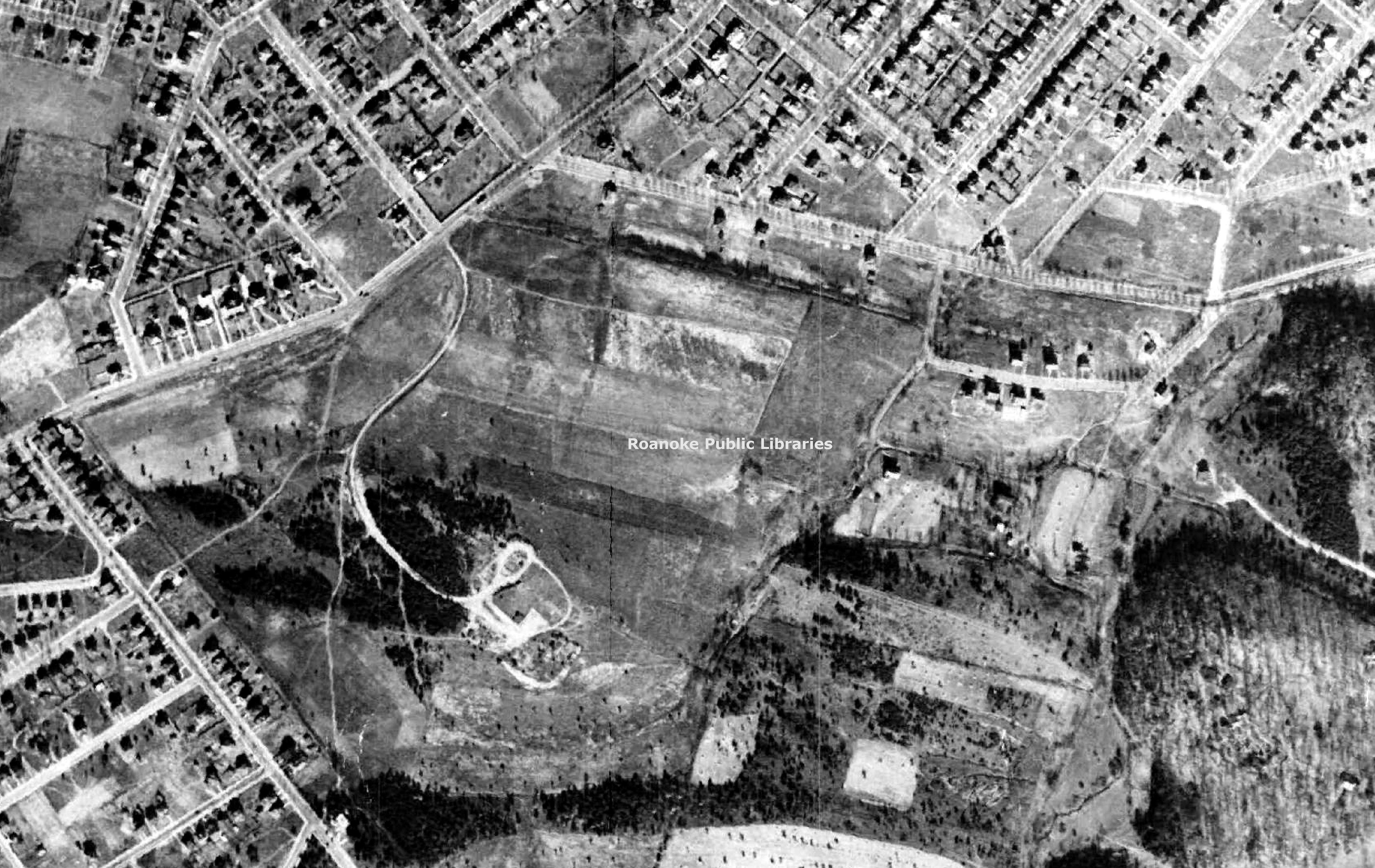
RAC30 Shrine Hill
FILES
Dublin Core
Title
RAC30 Shrine Hill
Description
This aerial photograph shows the area where Patrick Henry High School is located today. During the 1920s, the pasturelands served as an early airfield known as Shrine Field. The land was owned by the Shriners in hopes of erecting a large Masonic complex on the site. The main intersection would be that of Grandin Road and Brandon Avenue.
Date
1937
Contributor
City of Roanoke
Identifier
RAC30
Still Image Item Type Metadata
Original Format
Digital tiff
Collection
Citation
“RAC30 Shrine Hill,” Virginia Room Digital Collection, accessed April 19, 2025, http://www.virginiaroom.org/digital/document/RAC30.


