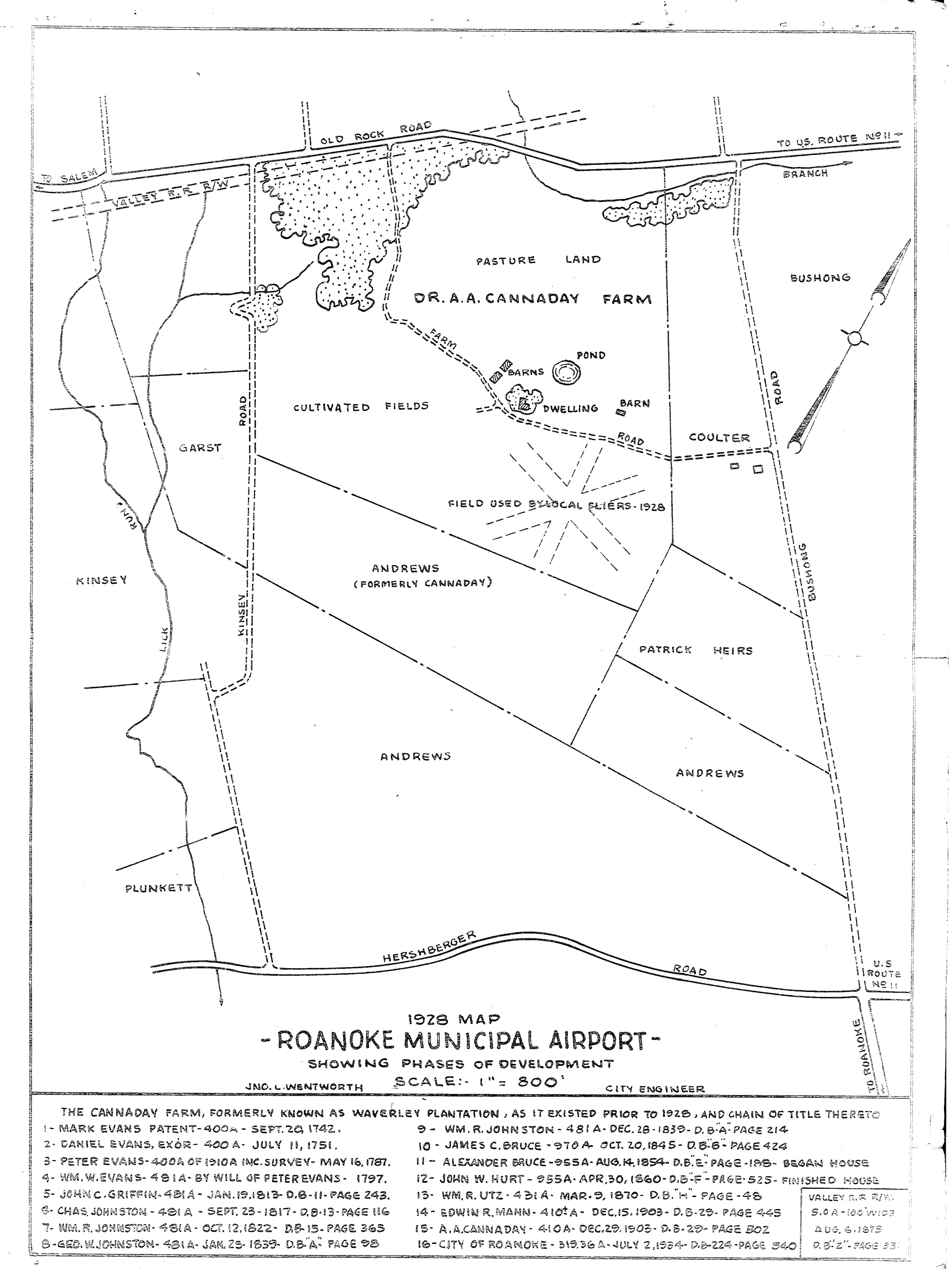
RAC57 1928 Map
FILES
Dublin Core
Title
RAC57 1928 Map
Description
This 1928 city map shows the area where the airport would be located, noting the location of the airfields. With the development of a municipal airport, particularly under the management of Frank Reynolds and Clayton Lemon, interest in aviation began to boom.
Date
1928
Contributor
Courtesy of Roanoke Regional Airport
Identifier
RAC57
Still Image Item Type Metadata
Original Format
Digital tiff
Collection
Citation
“RAC57 1928 Map,” Virginia Room Digital Collection, accessed April 20, 2025, http://www.virginiaroom.org/digital/document/RAC57.


